Changelog for TUFLOW Plugin v3.14
Release date: 12 Feb 2025
General Notes
Version 3.14 introduces a new tool tool in the processing toolbox (TIN Polygons - Assign Elevations) for helping generate 2d_zsh polygons that merge with the surrounding terrain. This tool offers an alternate method to TUFLOW’s “MERGE” functionality and is recommended for Quadtree models where the polygon spans multiple quadtree nesting levels.
Other changes include a significant bug fix in the ARR to TUFLOW tool when processing climate change data in NSW (see details below) along with a few other minor bugs and optimisations throughout the plugin. It also and adds a couple of minor enhancements to error handling and logging to a few of the tools.
New Features and Enhancements
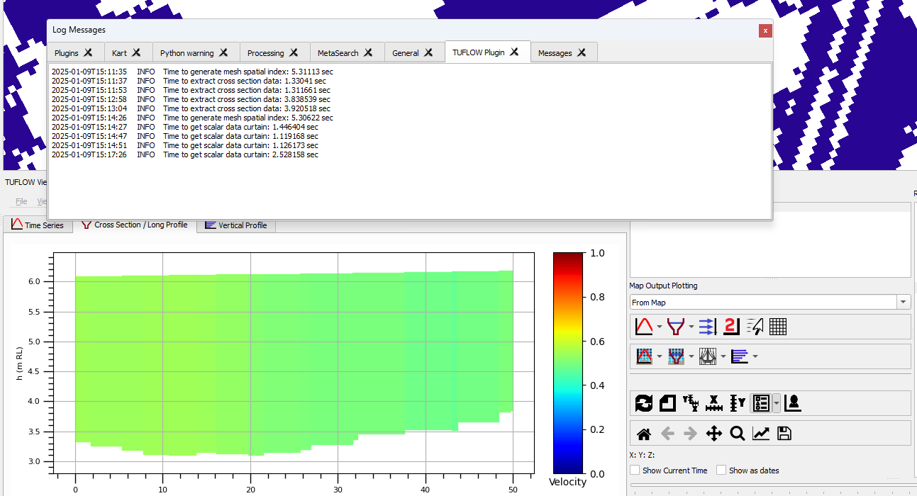
TUFLOW Viewer - Log Plot Extraction Times
TUFLOW Viewer will now log result extraction time (when generating plot data) to the “Log Messages Panel” in QGIS.
ReFH2 - More Error Capturing Checks
Additional error capturing checks have been added to the ReFH2 tool’s engine. The engine runs on a separate thread which can appear to hang if the process crashes without explicit error capturing.
Processing Tools - TIN Polygons - Assign Elevations
This tool assigns elevation points along the perimeter of polygons. These points are placed at the polygon vertices, with the option to add additional vertices. The tool extracts elevation data from a DEM layer at these locations, and assigns the values to an output points layer. It also generates a new polygon layer that includes the extra vertices.
It is recommended to use this tool for Quadtree models, instead of the native TUFLOW “MERGE” functionality when the 2d_zsh input spans multiple Quadtree nesting levels.
For more information on this tool, refer to the Documentation on the TUFLOW Wiki.
Bug Fixes
TUFLOW Viewer
- Optimised time series and cross-section plotting when extracting data from map outputs.
- Fixed a bug where the mesh intersect check layer was not being written for cross-section plotting from map outputs.
- Fixed a bug for Flood Modeller results when loading from a ZZN where the timesteps could be incorrect.
Other
- ARR to TUFLOW - Fixed a bug for NSW catchments using adjusted continuing loss values and climate change scenarios. The climate change adjusted continuing losses are now correctly being applied to the already adjusted continuing losses rather than the raw datahub values.
- SWMM - Convert from XPX. Fixed several issues relative to files with unexpected entries such as multi-links without named conduits.
- ReFH2 to TUFLOW - Fixed a Python error that could occur when using an input GIS layer when populating the features from existing layers open in the workspace.